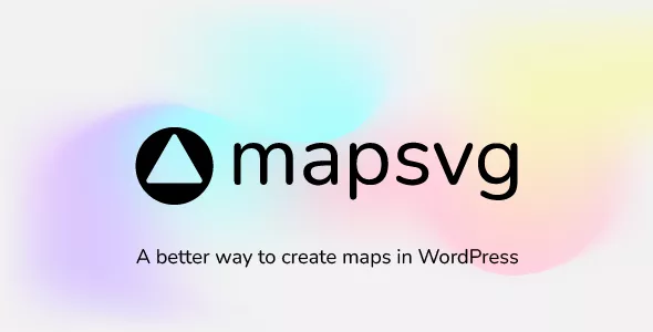
MapSVG is more than just a mapping plugin: it's a custom database seamlessly connected to vector, Google, and image maps.
All kinds of maps in one plugin
- SVG vector maps (all countries included)
- Google Maps (unlimited custom styles)
- Google Maps + your custom vector overlay
- Image maps: add interactivity to any png/jpeg image
Create objects and put them on a map
MapSVG has a built-in database, optimized for performance, easy editing, and seamless interaction with maps. Use it to create any kinds of objects and show them on a map! Show your content
Show your content on a map as markers. Groups markers into clusters. Show popovers, tooltips or large details view on click on a marker or map region. Show a menu with the list of objects next to your map.
Downloads: FREE

11 450 posts
No comments
To leave a comment, you must to our site.


Only our members are allowed to comment this post.