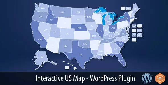
The interactive US map plugin gives you an easy way to install and customize a professional looking interactive US map with 50 clickable states plus DC, then insert the shortcode in any page or post to display the map.

The interactive US map plugin gives you an easy way to install and customize a professional looking interactive US map with 50 clickable states plus DC, then insert the shortcode in any page or post to display the map.
Hello,
can you upload a mod bios for ASUS H110M-K? BIOS Version 4401?
thanks
Michael
Hello, do you have this update?
Version 2.3 9/12/2025
The update adds the following to the system:
Flutter version is updated to 3.35.3
Translated Admin Panel: The administrator interface is now available in multiple languages.
Configurable Fare System: Administrator can now set a base fare for all trips and add a per-kilometer charge.
OTP Authentication: One-Time Password (OTP) verification has been implemented for enhanced security.
Trip Reservation Limit: A maximum reservation limit per trip, per user, is now enforced.
General Bug Fixes: Various issues have been resolved to improve system stability and performance.
Thank You
Please give me the activation key for Module Google Sheets module for Perfex CRM v1.1.0 - Two-way Spreadsheets Synchronization
Hi admin thanks for this addon, it requires purchase code can you help
Only our members are allowed to comment this post.