Vision Interactive - Image Map Builder for WordPress v1.12.2
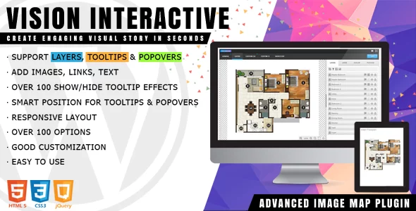
Vision Interactive is a lightweight and rich-feature plugin helps you enhance images with additional information and links. With this plugin you are able to easily annotate images with text, shapes and icons, draw attention to areas and features on images.
You can then use them in posts that empower publishers and bloggers to create more engaging content. It provides an easy way for you to convert a static image into the online interactive media brochures or booklets, image maps, floor plans, family tree, immersive storytelling in seconds. The plugin can be deployed easily and runs on all modern browsers and mobile devices.
 codecanyon" class="w-full h-full object-cover">
Keyword cloud
You might like
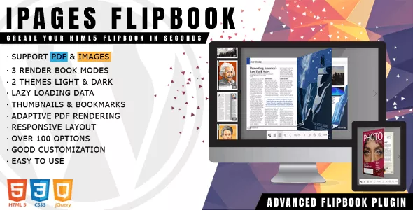
iPages Flipbook for WordPress
20/08/2025
Plugins
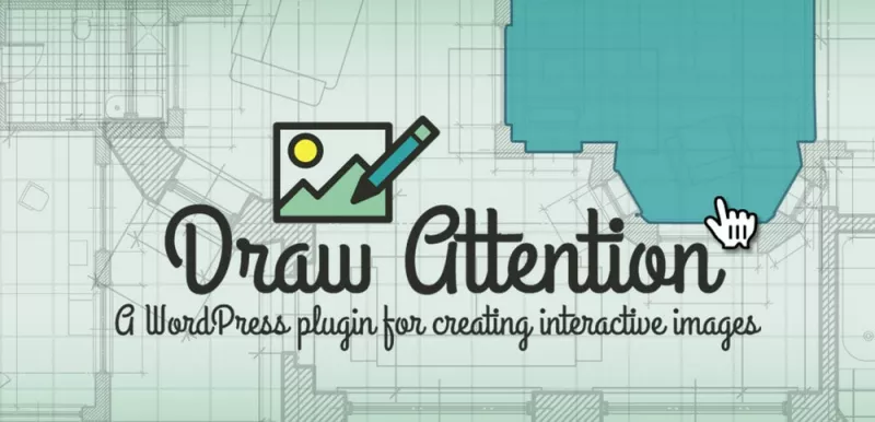
Draw Attention Pro - WordPress Plugin For Interactive Images
13/11/2025
Plugins
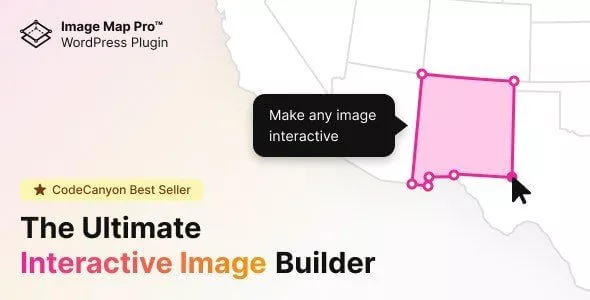
Image Map Pro for WordPress - Interactive SVG Image Map Builder
14/06/2026
Plugins
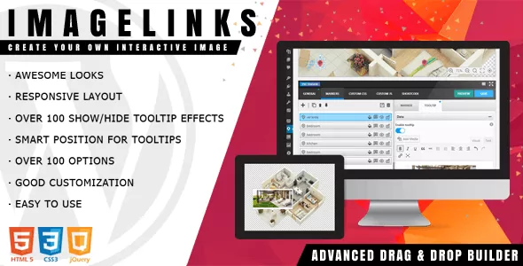
ImageLinks v1.6.0 - Interactive Image Builder for WordPress
12/02/2024
Plugins

WordPress FlipBook v1.15.2
09/03/2023
Plugins

Interactive Geo Maps Pro
17/11/2023
Plugins